
Geospatial Technology
Description
Participants interpret geospatial data in multiple formats and formulate projections about the area of interest in response to an annual theme (see below). Participants develop a digital portfolio containing maps, data, and pertinent documentation. Preliminary round participants also summarize their findings in a visual infographic map. Semifinalists defend their visual infographic projections in a digital presentation.
2025-26 Theme
Urban Heat Islands and Cooling Solutions
Identify urban heat island (UHI) hotspots in your area using temperature, vegetation, and land use data. Map areas most affected by heat and propose equitable solutions—such as tree planting zones, reflective surfaces, or community cooling centers—especially in vulnerable neighborhoods.
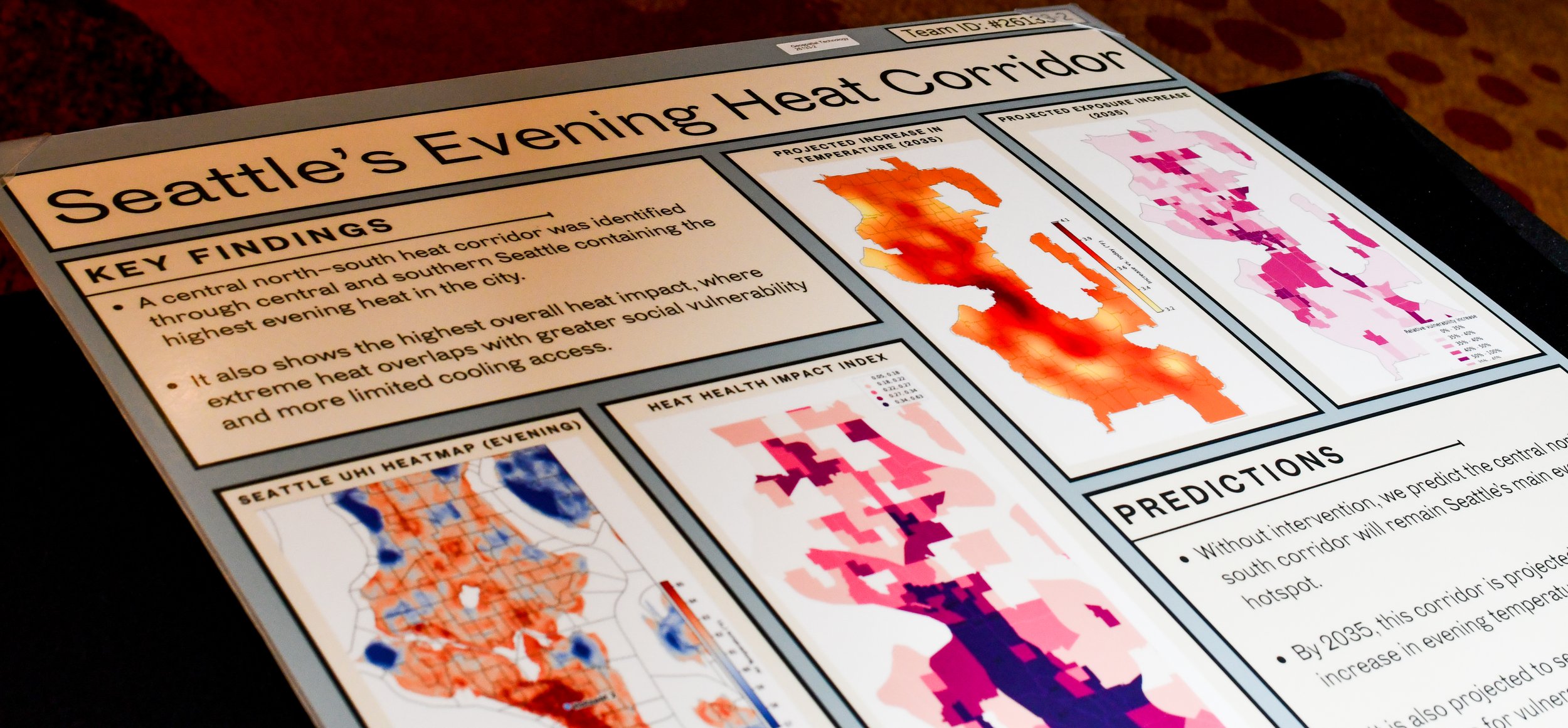
North Creek HS, Team 3, 2026 1st Place
Event Resources
EVENT EXAMPLES
Click on the links to the right to view past entries for this event! 2025 State 1st Place Winner
Event Deadlines
January 21, 2027
Students will need their Participant ID number, and password, from their advisor. Only the team captain will be able to upload the file.
Students submit their documentation portfolio for scoring.
March 18, 2027
This is an Early Entry Event!
All portfolios are due by 5:00 pm on March 18!
Visual infographic maps submitted at check in.
Semifinalists give a presentation to judges.
Washington TSA Rules
To compete, students must:
Belong to a currently affiliated TSA chapter
Be registered (by their TSA advisor) for competition by December 18, 2026 ($35)
Compete in the January 21, 2027 virtual competition (see individual event pages for details)
Be selected as a top competitor in their event(s) and invited to participate at State
Number of competitors is dependent on specific event
Qualifying competitor lists will be published by February 7, 2027
State Conference registration week February 22-26, 2027 (see state conference page for details)
At the state level, 3 teams (may be a team of 1 at advisor’s discretion) per chapter may compete.